

After having a number of trips be cut short, rescheduled, or cancelled due to fires and smoke, I’d come to expect that my trips wouldn’t go as planned. Every year it’s more and more of an issue and we all know why. Ultimately, these inconveniences are the least of our worries. Luckily on this trip, a gamble paid off.
I’d had an overnight bikepack route planned for a couple of years but it required crossing the John Day River. I have a shitty packraft I got at an REI garage sale and never really got around to doing the trip. Last week I realized that due to the extreme drought, I may not need the raft to get my bike across. I could possibly walk across. I figured if the river was too deep, I just turn around and come back the way I came. If you’re interested in this route, it could be done in 1 day, but remember that the river needs to be low enough for you to walk across like I did. Otherwise you’ll need to bring a raft. You’ll go through 3 canyons, Cottonwood Canyon, Hay Canyon, and the John Day River Canyon.

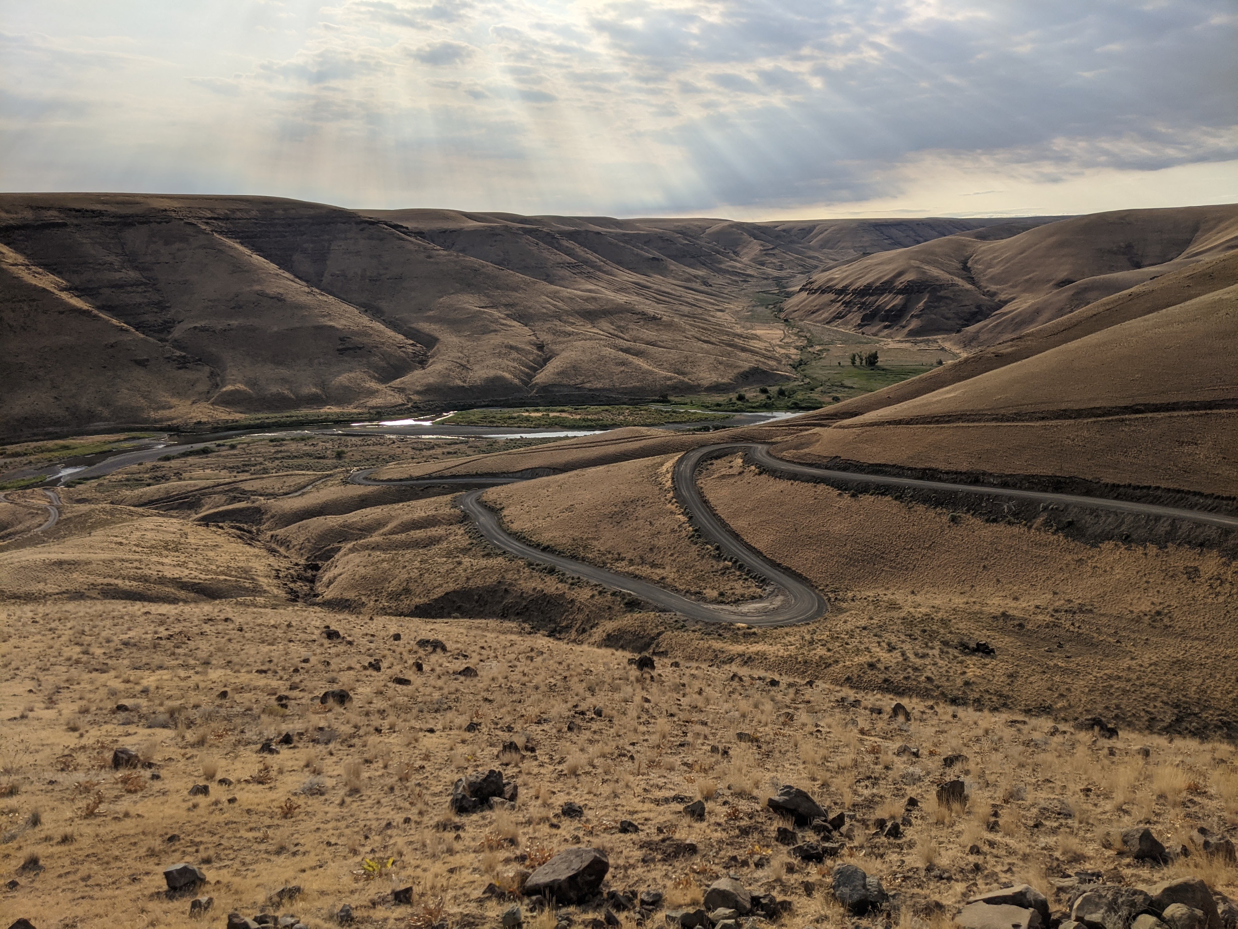
Starting at Burres State Park I was greeted by an eerie emptiness. The sky was hazy in the canyon. The lot was totally empty. When the river runs, this lot is full of rafters, hunters, and fishermen. I went out to check on the river level and I got a nervous feeling in the pit of my stomach when I saw how deep the water is here. There’d be no way to safely get across with my bike.
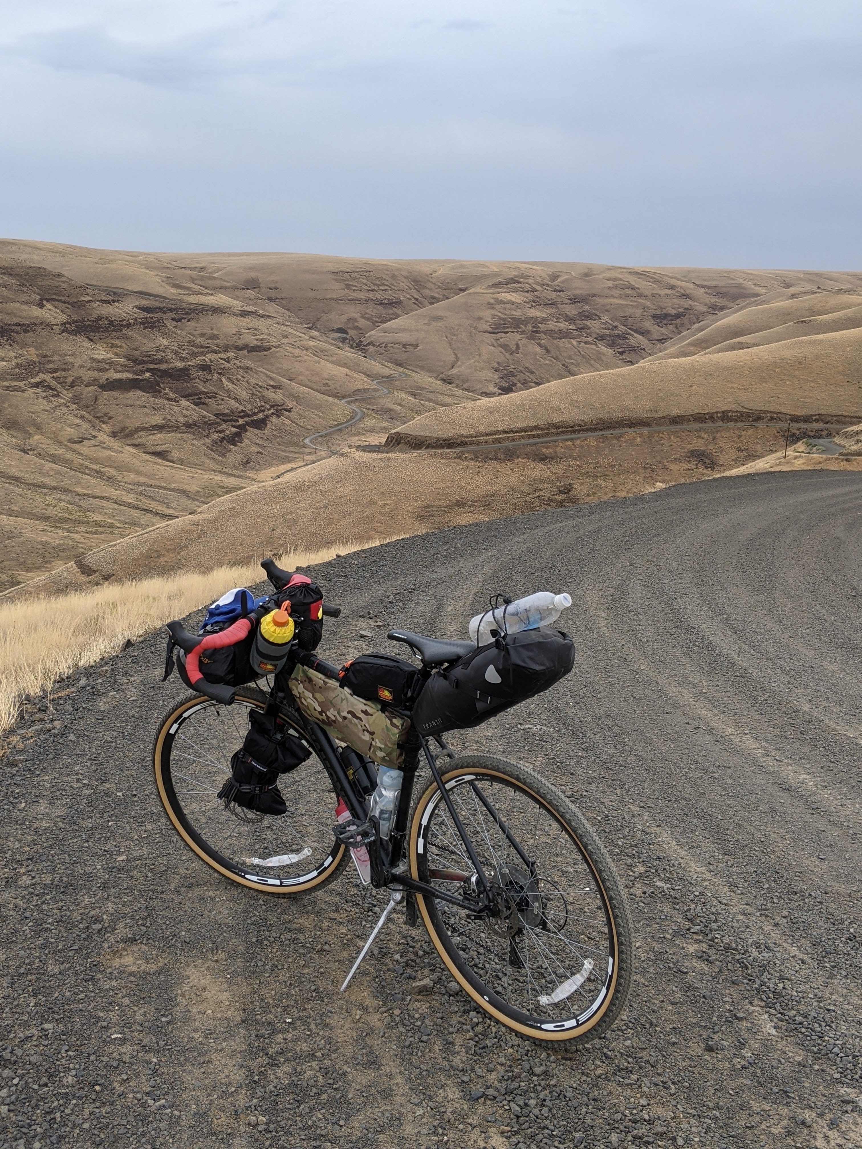
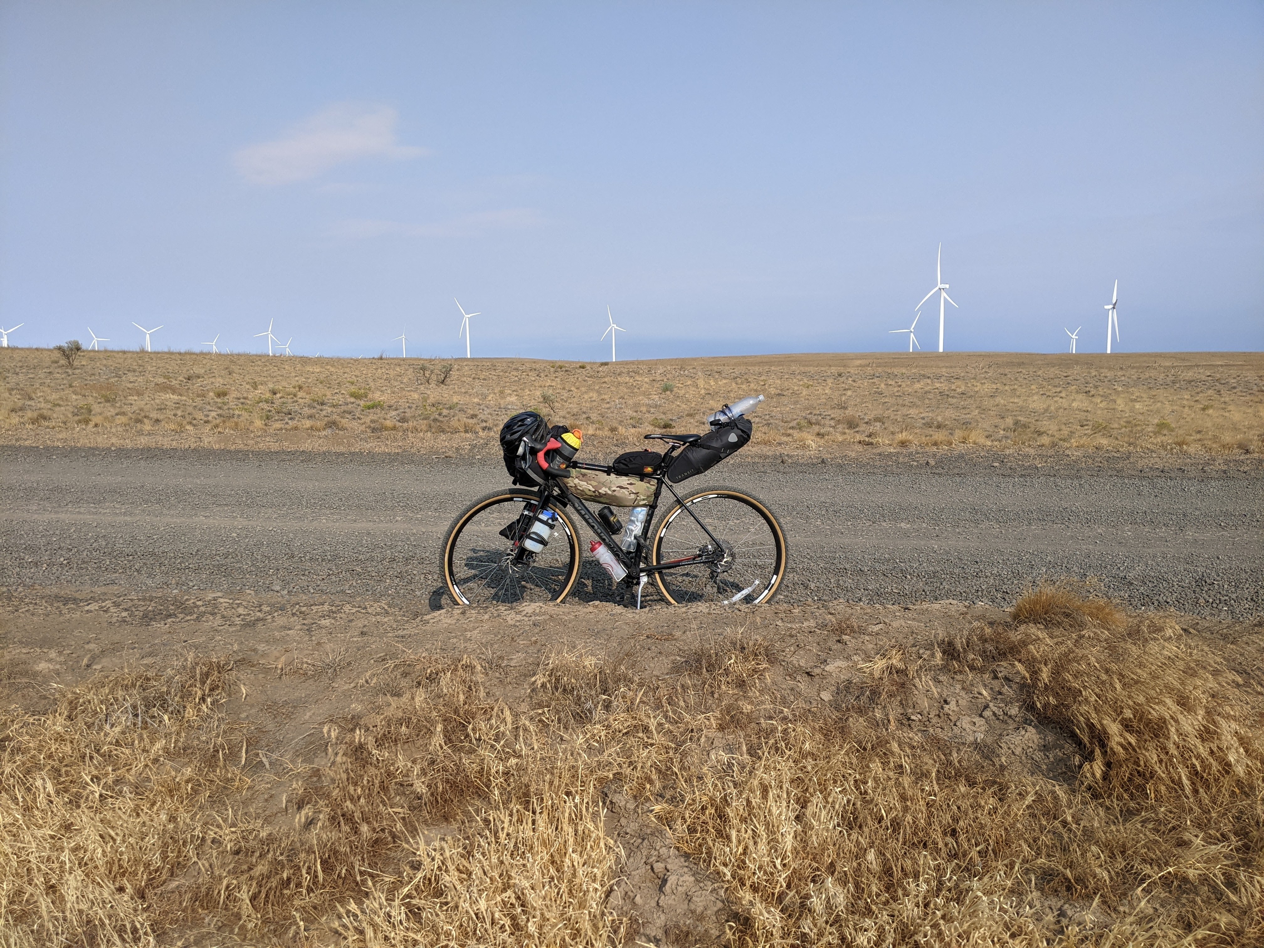
I started the steep ride up out of Cottonwood Canyon on the paved road. After over 2k feet of climbing I made it to the dirt road that would take me all the way across the plateau to Hay Canyon. I’d then take the Hay Canyon two-track road to the John Day river, and hopefully cross.
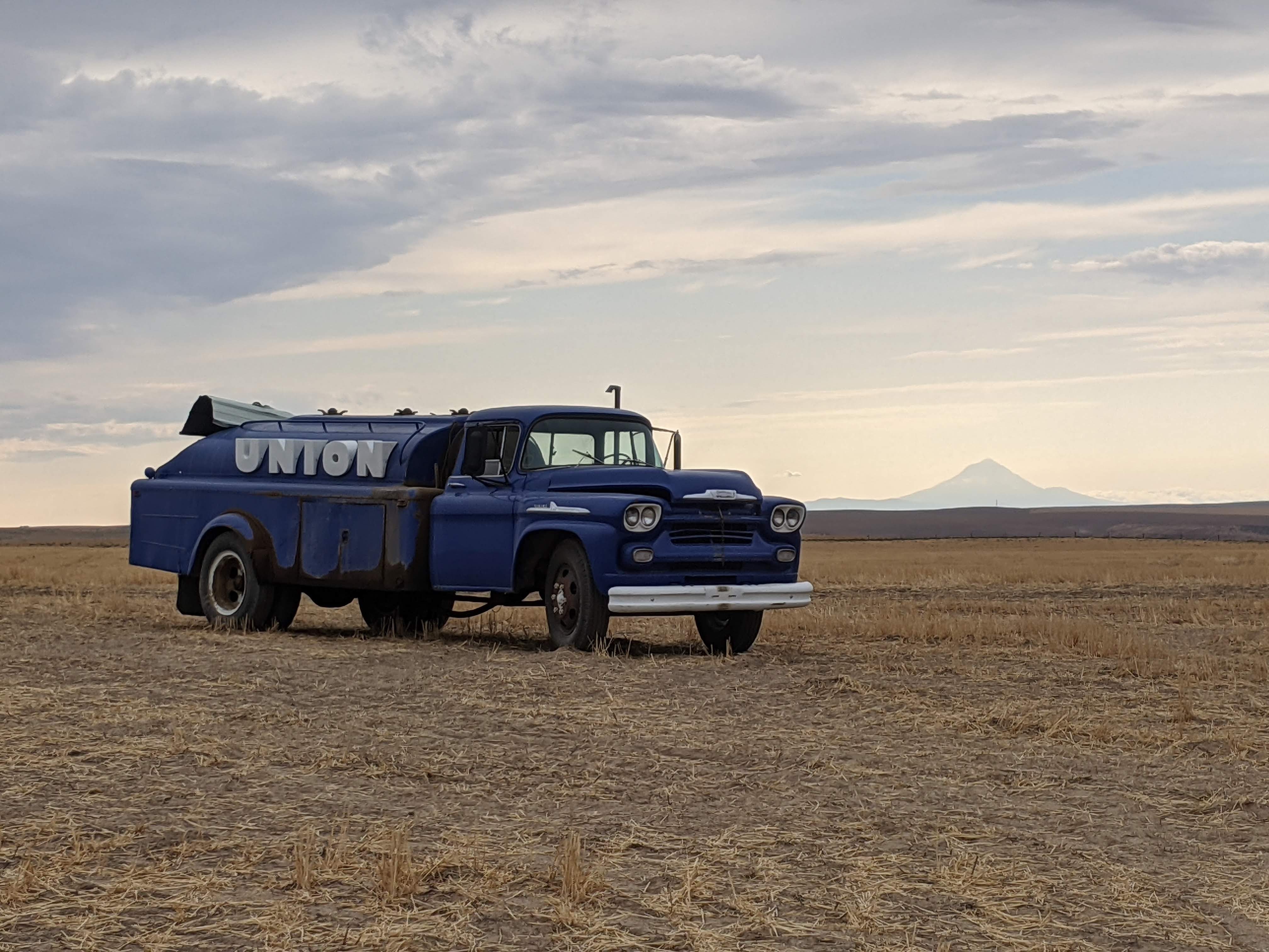
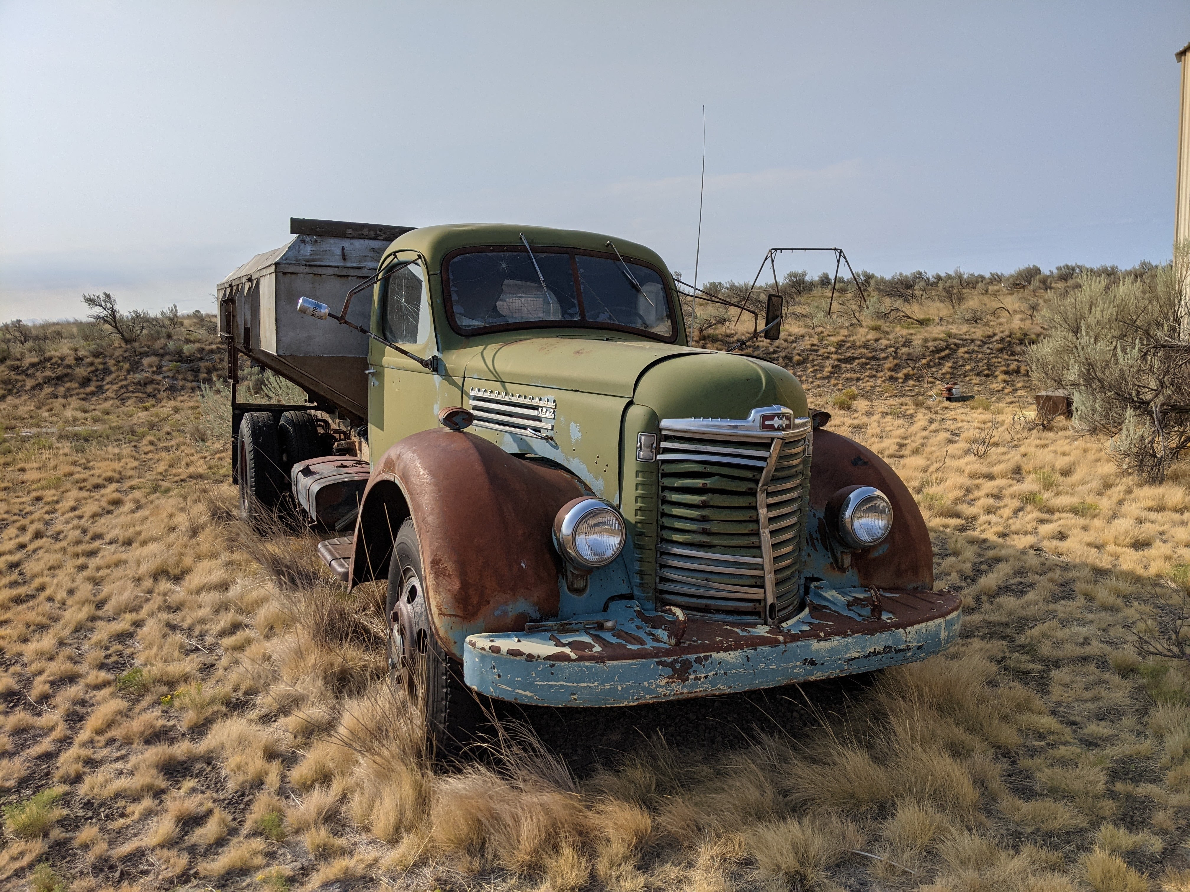
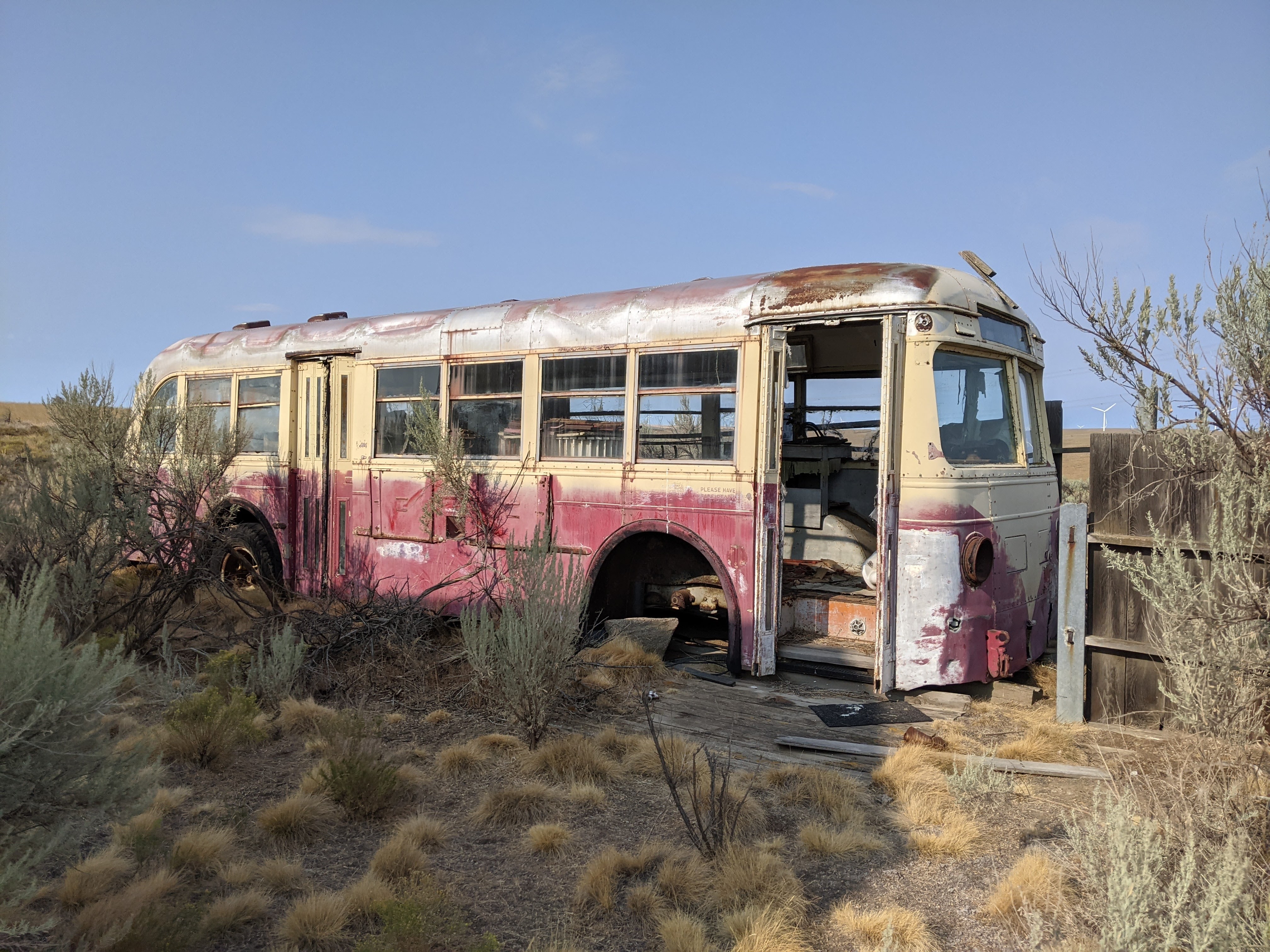
Devils Butte Road cut gently through the wheat fields which had already been harvested. Along the way I saw an unusual amount of very old farm trucks, a couple that even looked operational. I was able to go at a leisurely pace, getting off my bike and take photos as much as I wanted. A low mile day opens up those possibilities.
Along the way I encountered the only vehicle I’d run into on this road. The farmer stopped, wondering if I was lost or needed help. This was relieving because I’ve had some pretty hostile encounters with people in rural Oregon, I never really know what I’m gonna get. I got a friendly one today. I asked about how his wheat harvest was with the heat wave we had, and he said “Normally we get 40 bushels an acre on average, this year we got 19.”. Moments like these and it dawns on me, all over again how bad global warming is, and how bad it will continue to be. One quick wave of 117 degree heat can ruin crops. On the bright side, he thought I could cross the river “without getting your shoes wet” and I hit the road again with a renewed excitement I haven’t felt on a trip in quite sometime.
Finding a good place to cross was a bit of a challenge, but once I found a good route, I crossed in ankle deep water. This was a short trip, but it felt great to have a gamble like this pay off. As I crossed the big river bar, I saw agates and jasper everywhere, and I took home a couple of large pieces. The rest of the evening was uneventful, quiet, and relaxed. I didnt feel like shit from doing too many miles, I just felt good and content. The next morning I finished the remaining climb back out of the canyon on Starvation Lane, and bombed down back into Cottonwood Canyon without a single car passing me. This is as good as it gets.

Wow! Sounds like a great trip. The realities of climate change certainly seem prevalent with the matter of fact-ness of the rural farmer discussing getting less than half his normal yield, too. 😦
LikeLiked by 1 person
Thanks! The funny thing was that he kinda had a good attitude about it, he was like “We had two good years before this so its alright”
LikeLiked by 1 person