
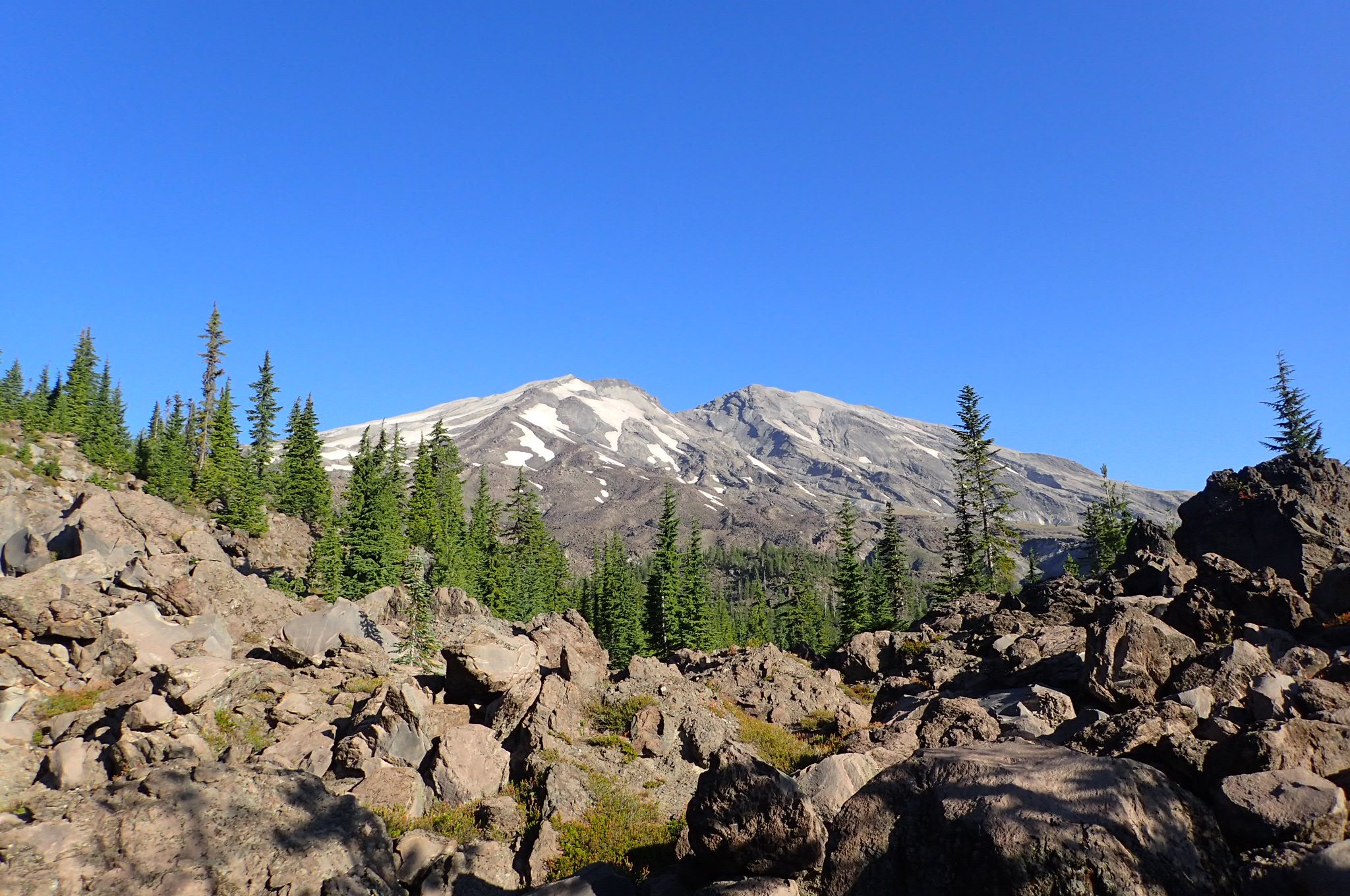
This past weekend I completed the 31-mile Loowit Trail around Mt St Helens. I started and completed my loop using the June Lake trail. There are several good guide’s online for this trail and I won’t duplicate that information, but I will share a map of Late July water sources along this dry ass route for historical purposes.

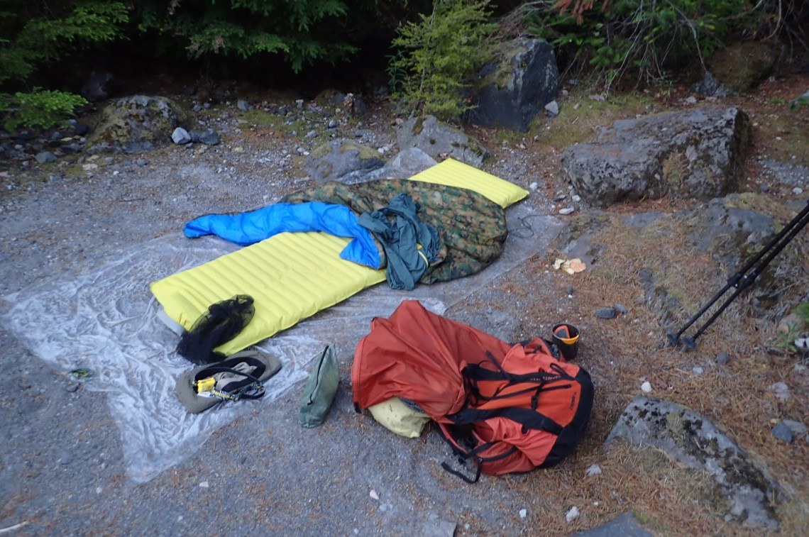
June Lake Trail gives the shortest access route to the Loowit Trail, which does not have its own trailhead. The Loowit itself is about 28 miles in length. I completed this in two days. Three is more sane and might be more enjoyable. I arrived Friday night, and hiked in a bit over a mile on the June Lake trail and camped out. I traveled counter-clockwise, with the goal of crossing the entire Blast Zone and camping at South Toutle River, roughly an 18-19 mile day I believe. My plan was to complete the remaining 11-12 miles the following day.
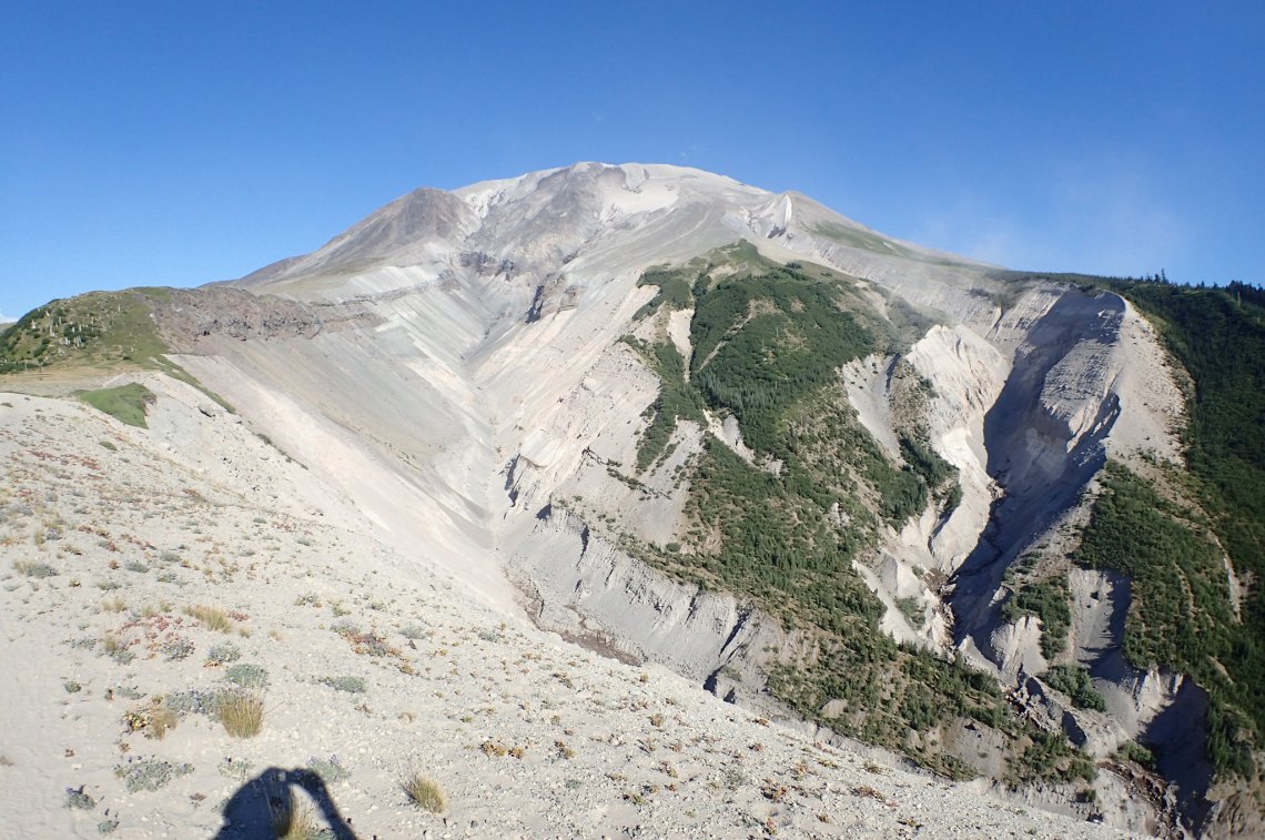
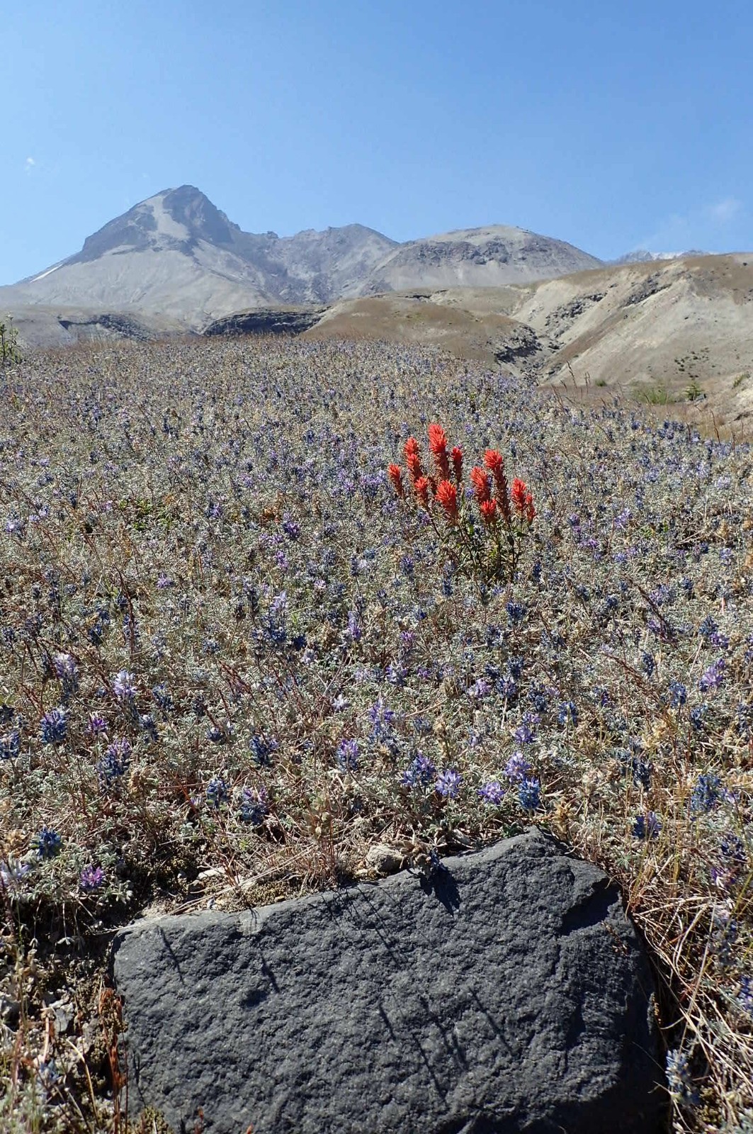
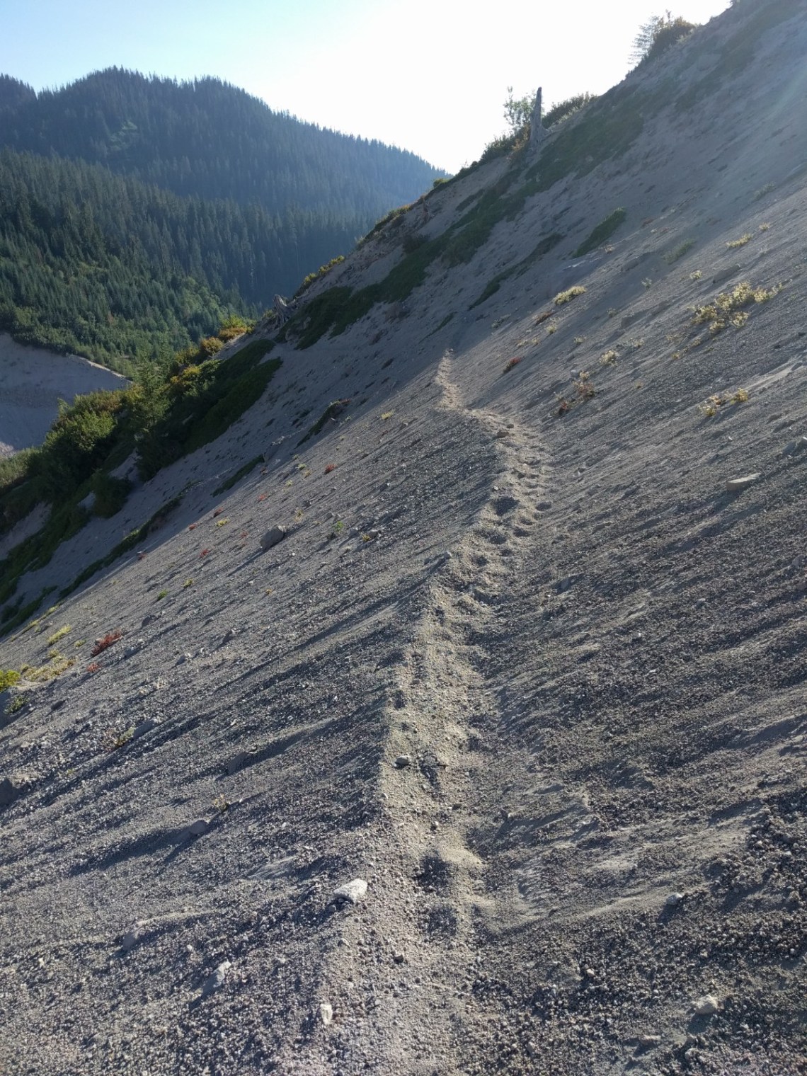
I’ve never backpacked in hotter weather and I learned that I really prefer cooler temps. I don’t know for sure what the temps were, but it was a discomfort I haven’t experienced for awhile. There is no shade on most of the trail, leaving you totally exposed to heat from the sun and also being reflected back to you from either white pumice or black lava fields. Hiking in shorts, full brim hat, and a ventilated shirt all helped to mitigate the misery. I pounded water to stay hydrated. Big water carry required in hot weather on the South Side of the mountain! I carried 4 liters and drank every bit of that, plus more at a water source close to the junction with June Lake Trail.
There were more water sources available than the USFS info page would have you believe. They list only the three year round water sources on the trail. In late July, there were many more water sources than I expected, primarily on the East and North side of Mt St Helens. Your map isn’t that great of a guide to water, some sources with a solid line were dry, others were unexpected entirely.
Here is the rough map of water sources I encountered in late July, 2018. There may have been a couple more of poor quality that I didn’t include, like if it was overly silty and bad for filters. Here is the link to the Caltopo Map


Polycro ground sheet wuuuurd! Definitely gonna check this out when I get back out there. I spent the last week camping/hiking in NY, New Hampshire, and Vermont. Green tunnel is a good descriptor for almost every place in the Northeast, and it has me ready to get back to the west. Thanks for the info
LikeLiked by 1 person