
Before the heat of summer sets in, I wanted to backpack out in the desert for a change. I’d seen a sign for the Oregon Badlands going 80 mph on highway 20 on the way to Eastern Oregon last summer. After checking out the map online, I planned out a loop to check out the wilderness area. It’s part of a massive shield volcano with lava flows and rocky outcrops punctuating the flat land.


Added bonus is that part of this loop is the beginning of the Oregon Desert Trail that winds through another 750 miles of desert. I plan on section hiking it over time and was happy to complete a tiny portion of it on this trip.
The hike itself is flat and would be exceedingly easy, if it were not for the goddamn sand that made up 75% of the trail. Within the first couple of miles I even got a blister due to the difficulties of hiking in sand. If you’ve ever backpacked in sand, you know how absolutely shitty it is to hike on.
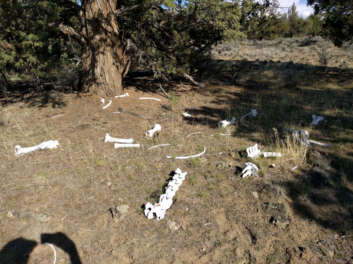
Much of the “trail” were in fact old roads. This wilderness is one of Oregons newest, being declared in 2009. It’s only 20 miles or so outside of Bend, OR and save for a few day hikers, completely empty of people. There were however, a fucking unbelievable amount of animal tracks in the sand, leading off in all directions. With so many game trails and old two-track roads its easy to get lost and off track once you’re off the old roads. This happened to us, but in this area it’s easy enough to correct by checking GPS on our phones.


Its a good place to practice bushwhacking as well, because you can only fuck it up so badly. We had USGS quads as well as a gps app on our phones. There are no real landmarks to guide yourself by. Even the rocky outcrops you think you could guide yourself by are only visible once you are very close. If you get lost here, you are exceedingly close to help, moreso than any wilderness area Ive ever been to. The GPS app made navigation so easy, we had to challenge ourselves to try and use the quads.
The first night we tarped out in a suitable location and got treated to a nice sunset. We cameled up the next morning at the only water source in the whole wilderness, loading up with enough water (hopefully) to last all day, cook in the evening, and make breakfast and coffee in the morning. We loaded up with around 9-10 liters.


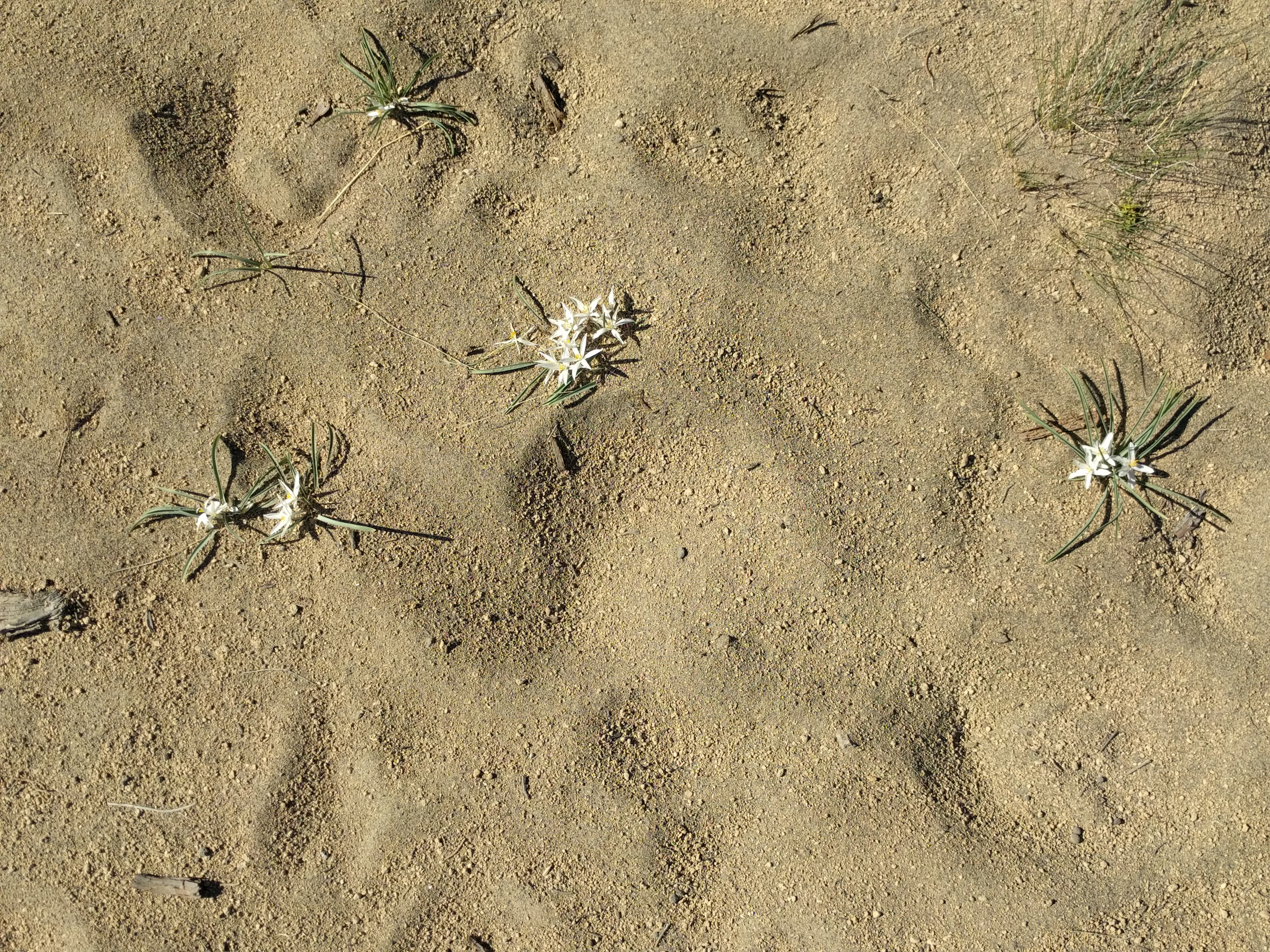
Amongst the junipers and sage brush, there were Sand Lilies and another tiny flower whose name I don’t know. Let me know if you do.


After a long haul lasting most of the day, our feet were beat to shit from hiking in the sand for nearly 12 miles. Luckily, we found a prime camping spot in a rock outcrop and cowboy camped. By the time we left the next morning, we had only about a liter of water left between the two of us.


We slogged back through the sand and took the Ancient Juniper trail, (which was luckily hardpacked) back to the parking lot. I can’t say I’d repeat the same route (or necessarily backpack here again), but there are definitely some parts worth seeing if passing through the area. We had a lot of fun and felt pretty out there even though we were only 20 miles from a large concentration of parking lots and box stores (Bend, OR). The stars were amazing, it was silent, and the experience was well worth the effort.
There are 1000 year old juniper trees, lava flows, and a variety of very fucking elusive wildlife. Definitely avoid going in the summer if possible, as this hike would be absolutely miserable in the heat. Bring plenty of water, no matter the time of year! We thought we had enough, but in reality had very little to spare in the end. Hopefully the next section of the ODT is on more solid ground and less sand.

This is awesomme
LikeLike