

If you find this post to be helpful, consider supporting me on Patreon and get entered to win a prize if you contribute on the “Junior Douche” level. Drawing will be on the last day of this month. Enjoy the post!
Completing this loop is the greatest physical challenge I’ve ever completed. In the planning mode I was counting on 3 days of 13 miles per day. I thought it would be a real slog due to the constant ups and downs in elevation as you circle the Volcano. We surprised ourselves the first day and knocked out half of the trail, hiking exactly 20 miles. That is the single longest hike I’ve ever been on and also the longest hike with a backpack by a long shot. This left us with a more relaxed schedule for the next two days.
If you think you can safely push it the first day, do it. That way you can take your time for the next two days or crush it the next day and complete the whole 40 mile loop. We met some trail runners that were running the whole god damn thing in one day. Three days is totally manageable, and four days would be a luxurious pace with lots of camp time if you want that. If you’re interested in the menu, click here.

Thousands have done this trail, so there’s really little I can add to the compendium of knowledge available elsewhere on the internet. That being said, we were amongst the first groups of people to use the new trail to cross Eliott Creek so I’ve got some info on that below for those that are interested. Trail workers were still putting the finishing touches on the trail.
For trip planning I used the Green Trails Map for Mt Hood for my physical map, which I also took with us. I used the eyehike website to view many useful maps and elevation profiles. Its dated at 2004, which is before the Eliot Creek washout in 2006, but everything else is accurate and useful. To see pics of the hike matched with a map, check out NWhiker. I took screenshots of this page on Oregon Hikers so I would know where some camping areas are (updated in 2014). There are tons more small camping spots along the way, but some sites are dry so plan well.
Day 1
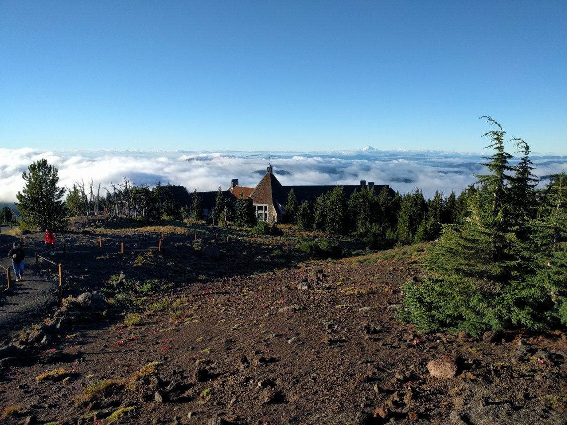
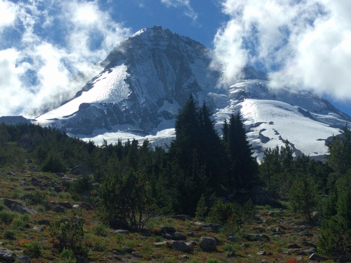
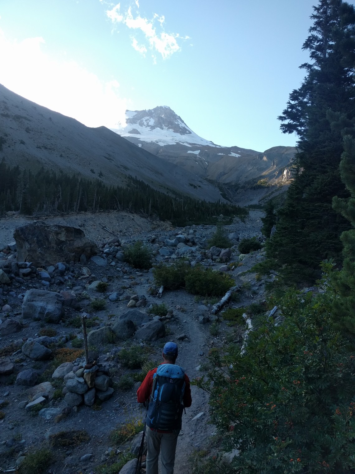
We started Saturday morning at 730 AM. By noon, we had put 10 miles behind us by the time we reached Ramona Falls. Reaching Ramona Falls requires a drop of over 2000+ feet. We chose to go clockwise on the route to avoid this being the last brutal climb to the end. The climb after that was tough on me, and for the last 5 miles of the day I was in a lot of pain. The scenery was magnificent and this trail is full of surprises.

Here’s some pics from the first day:
The scenery at the beginning was out of this world as we descended to Ramona Falls:
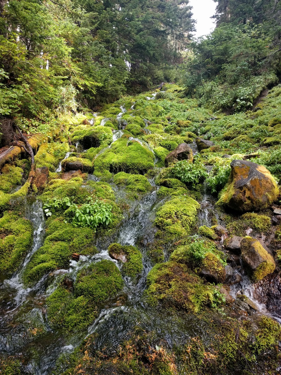
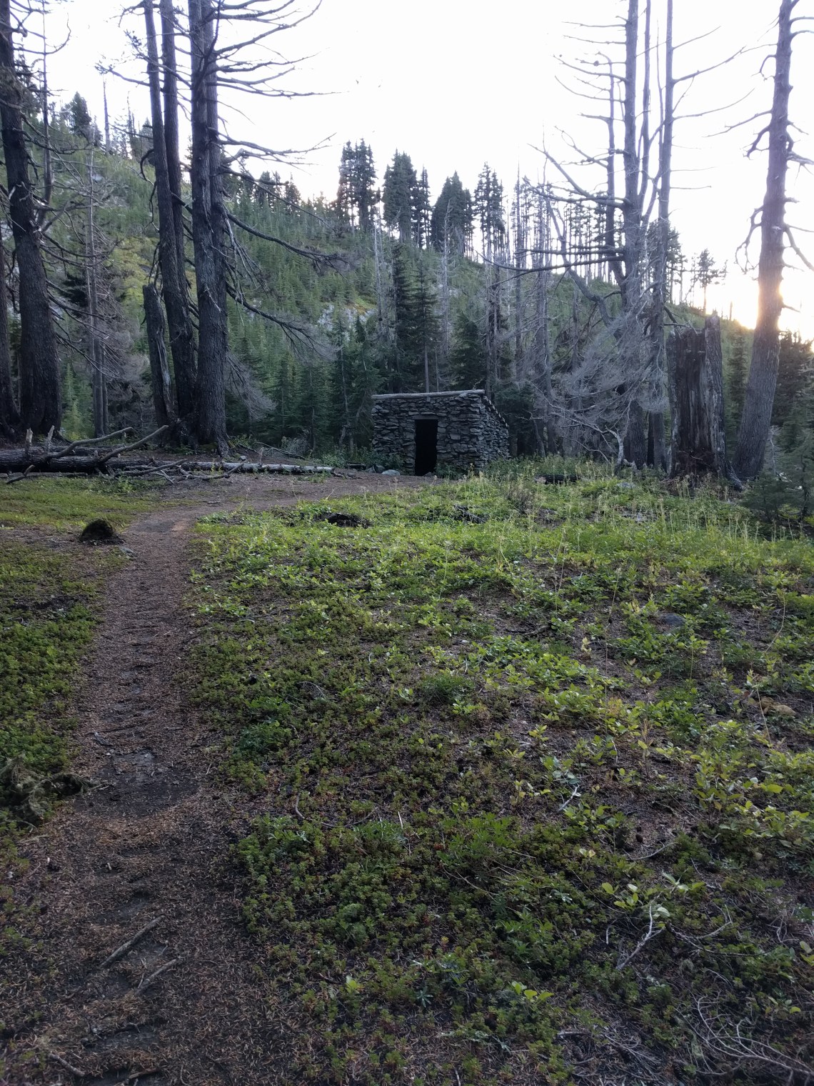
Much of the rest of the trail was wooded and beautiful in its own right. We were relieved to camp in Cairn Basin near the shelter.
It got pretty damn cold that night, but I was warm and toasty wrapped up in my quilt and under my tarp. I struggled to stay up past 9. The next morning we actually felt pretty good, made our breakfast and coffee and were on our way.
Day 2
Day two would be about 13 miles according to Strava, which we used daily. This hike included the crossing of Elliot Creek, which turned out to be NBD. We climbed up to the high point of the whole hike above 7000′ and finished out with a punishing downhill that hurt my feet the whole way down to Newton Creek below Gnarl Ridge
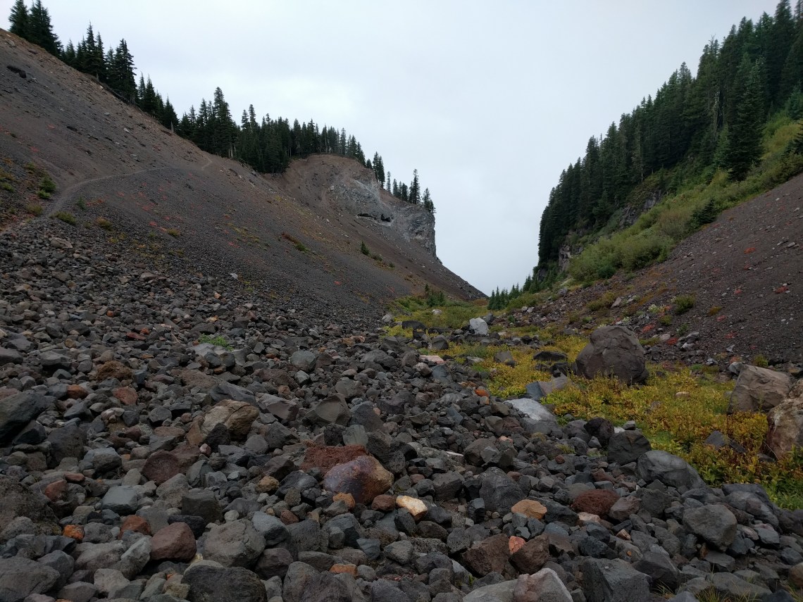
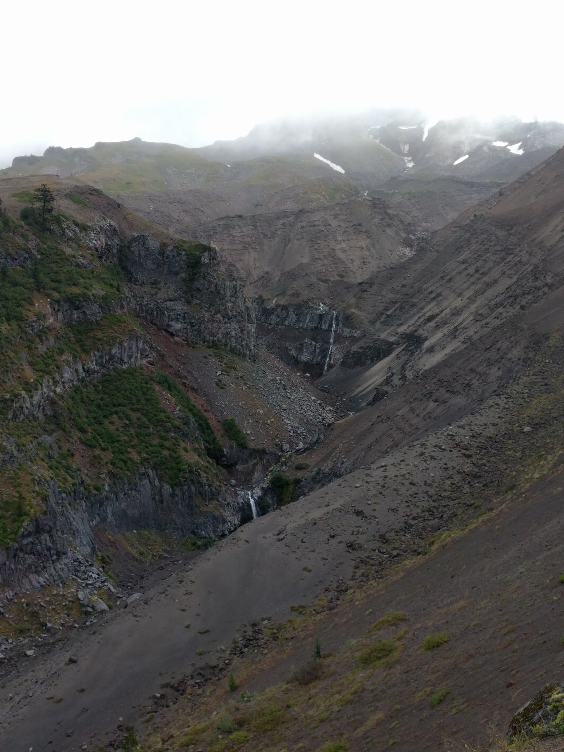
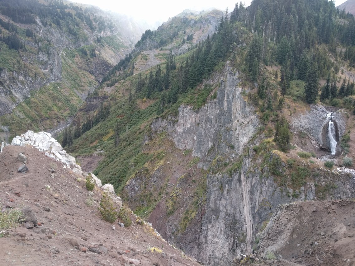
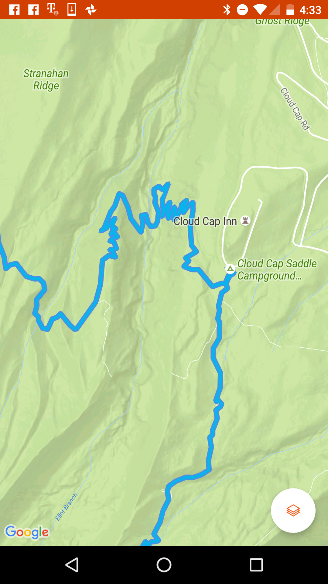
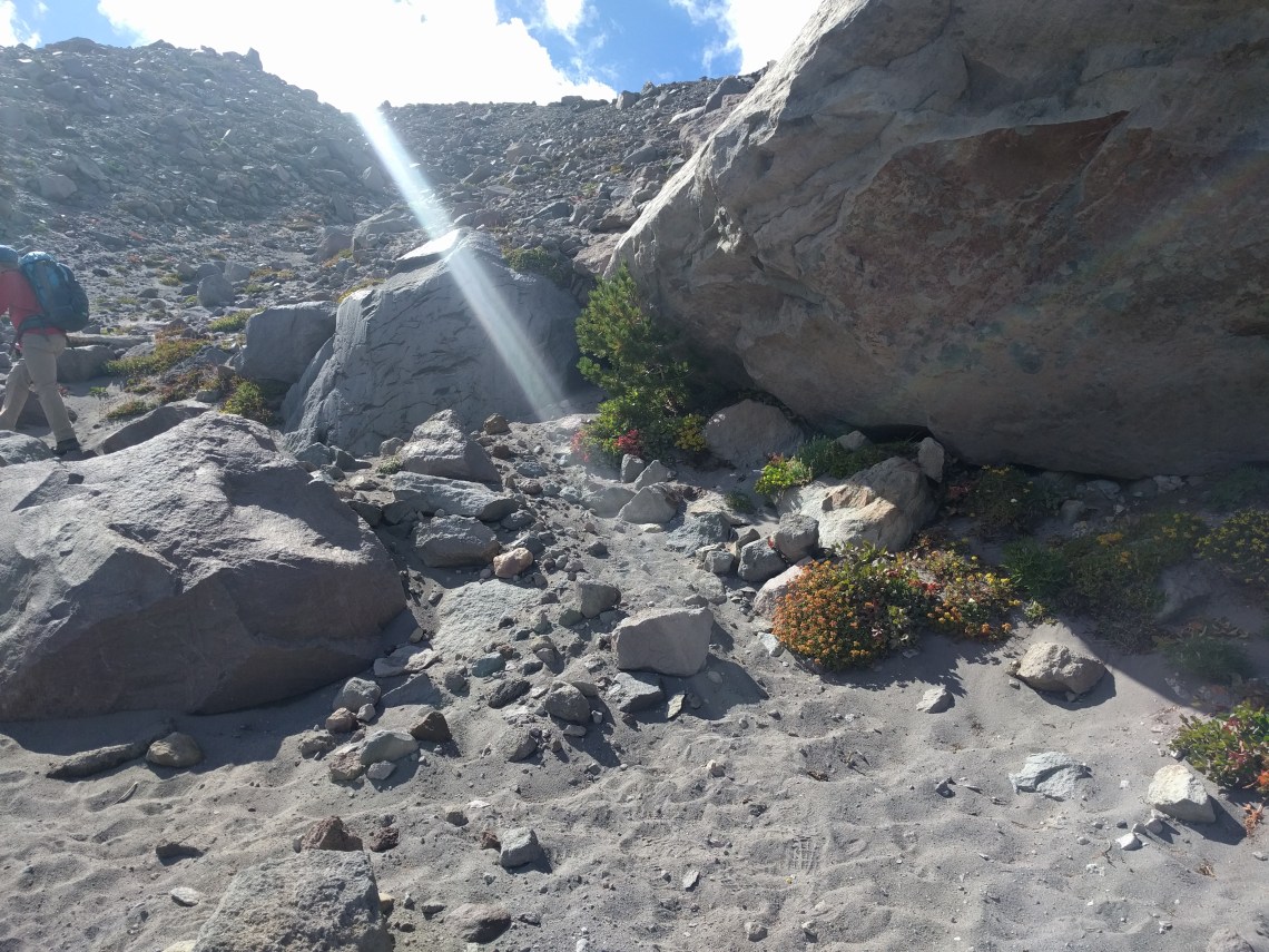
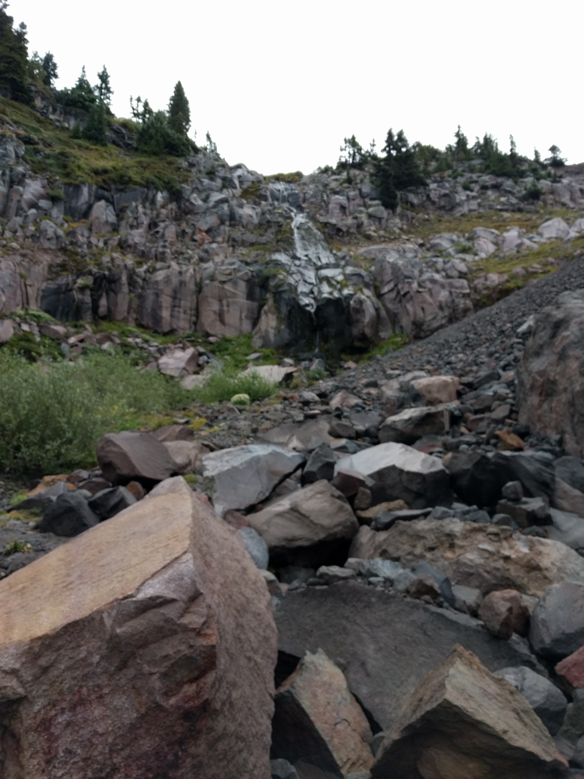
The original trail and foot bridge across Elliot Creek was destroyed in a huge washout in 2006 and was not replaced. People were/are crossing using ropes to get down into the wash, and back up out of it. Thanks to a .douchepacker. reader, I learned that the new trail, scheduled to open in 2017 is actually open now.
Instead of going straight across the wash, the trail now steeply descends to the north about 600′ down. You then cross (easy) and take the new trail up steep switchback about 550′ to the campground where there’s water. Here’s the route as tracked by Strava:
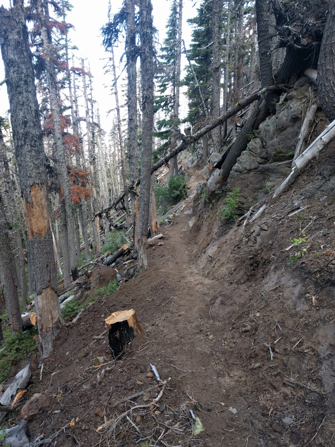
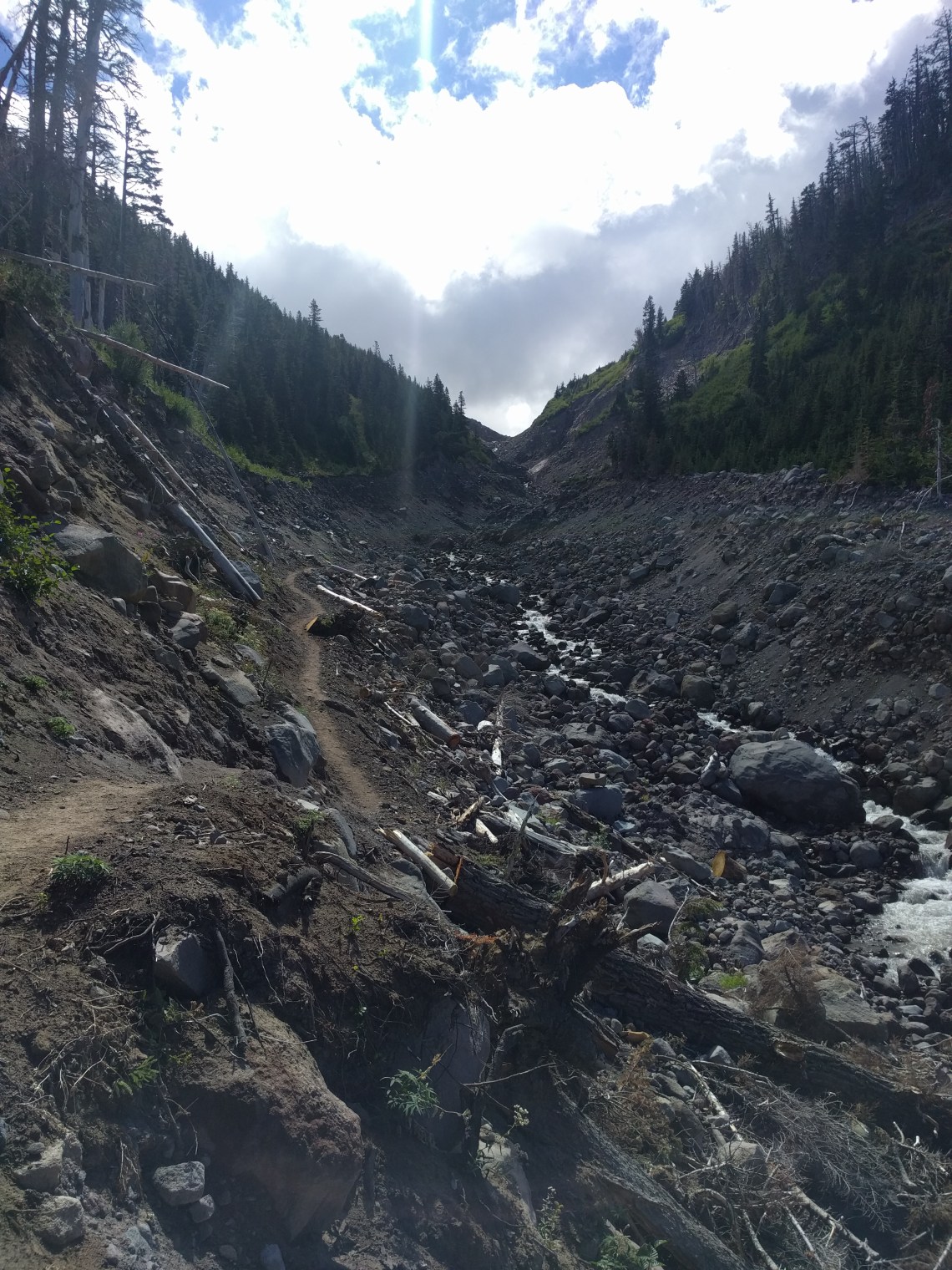
Here’s some pics of the new trail:


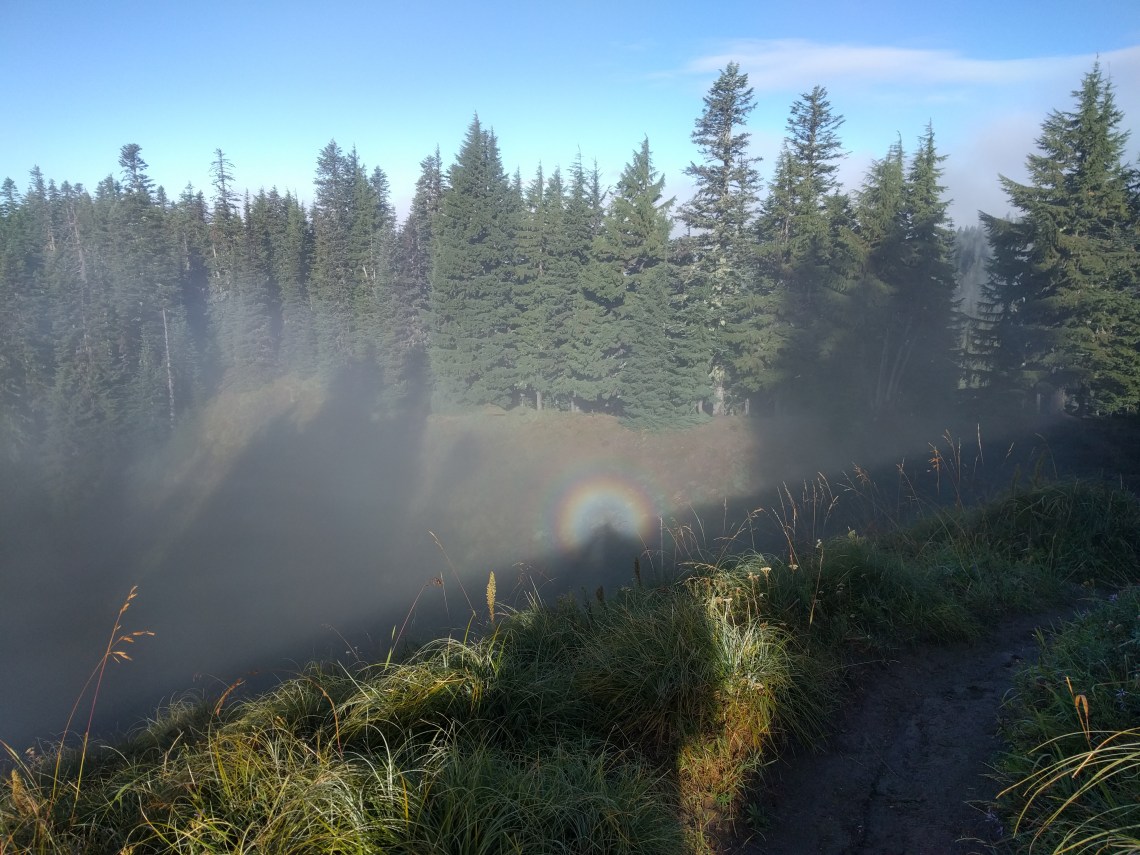
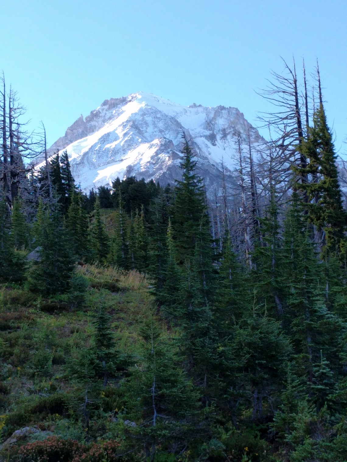
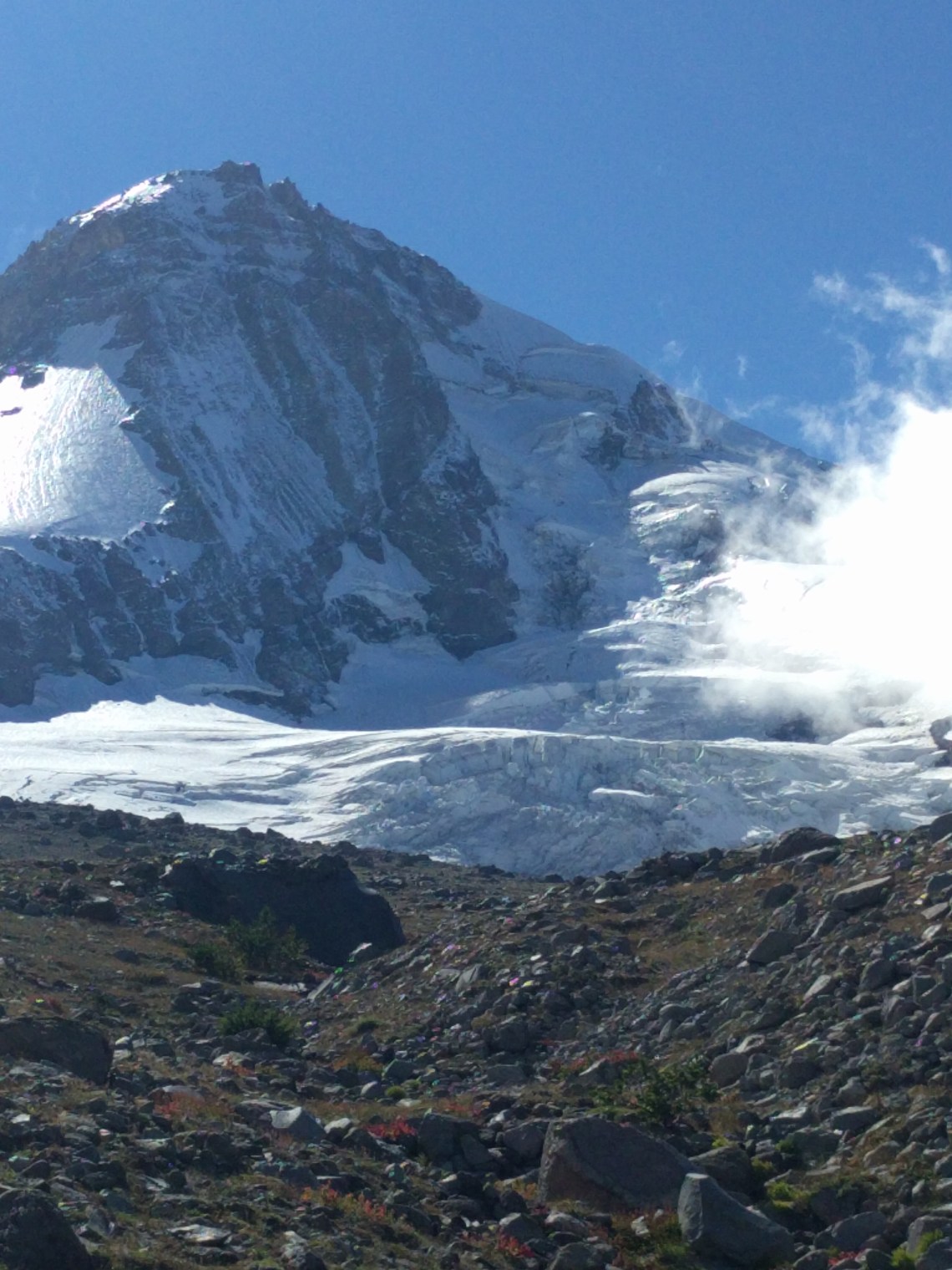
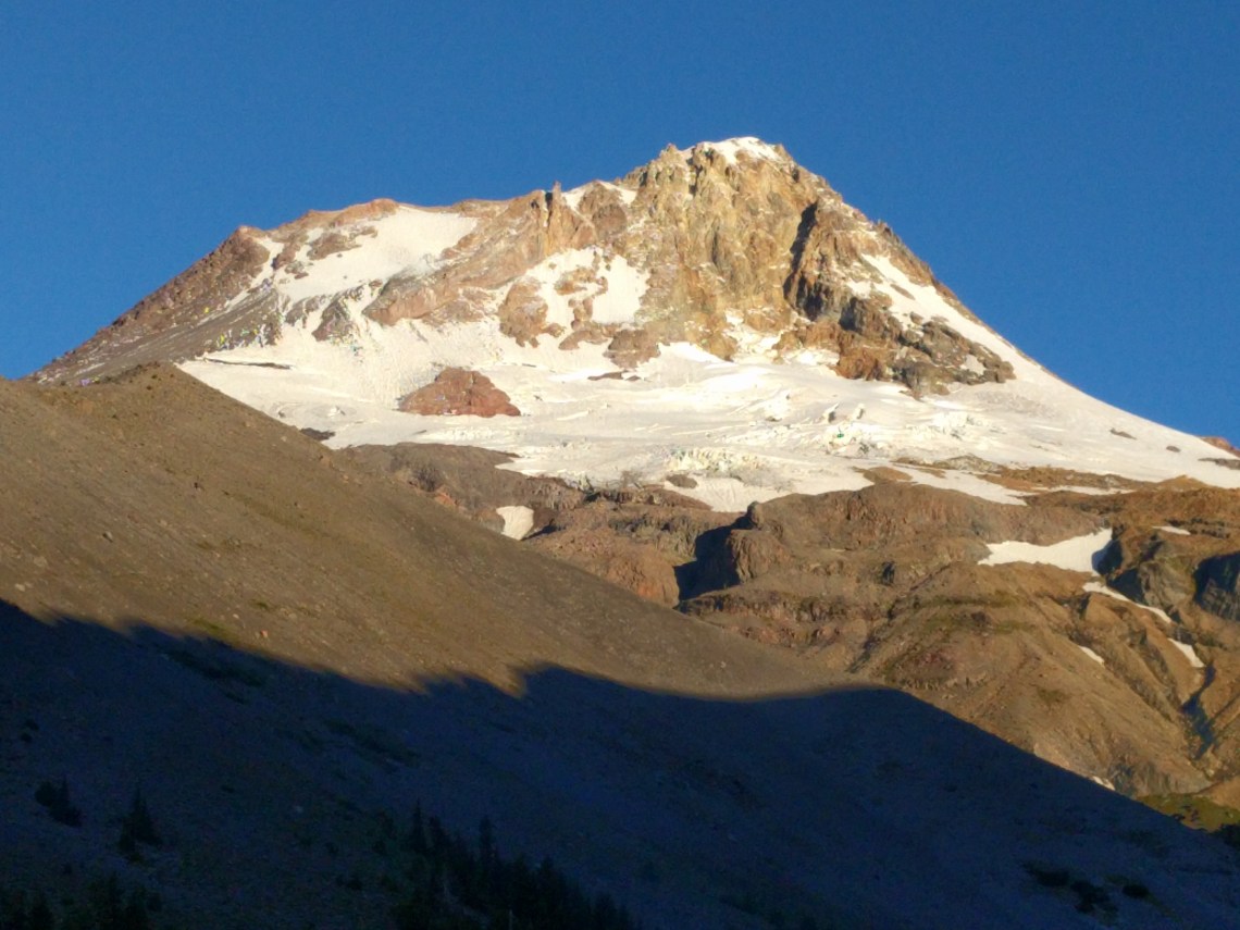
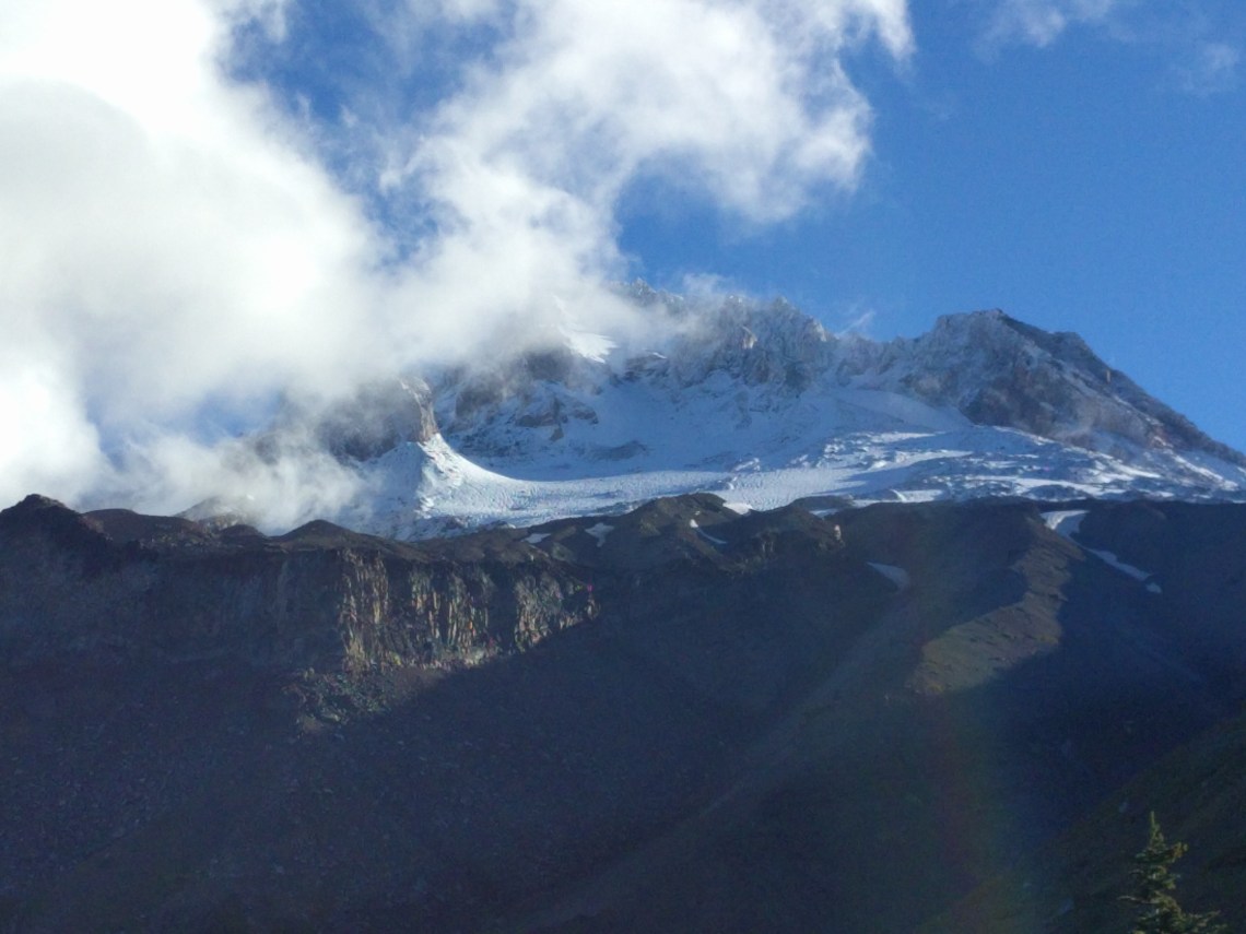
After Cloud Cap/Tilly Jane area, you climb steeply into the exposed east side which is stunning to say the least. We were surprised at the crowds going up to Cooper Spur. The landscape is stark and beautiful. We camped at Newton Creek, spent.

-
- Newton Creek where we camped in the trees just behind where this photo was taken.
Day 3
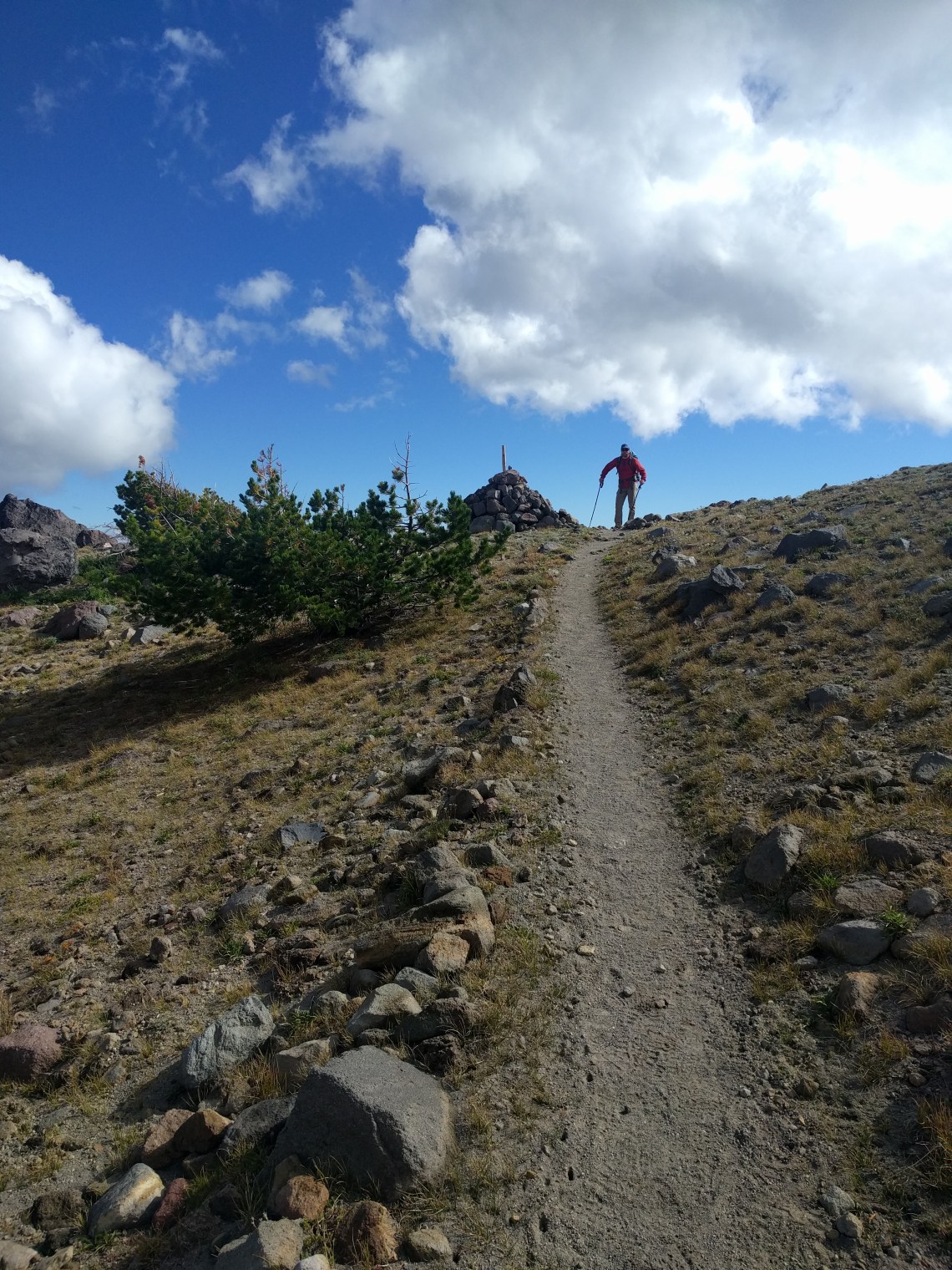
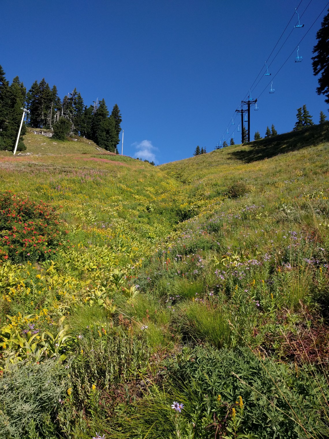
We only had 8 miles left this day and passed through Mt Hood Meadows, down to the White River, and back up to Timberline to finish up around 1130AM. Beer was served.

For a total of 40.1 miles and 9,715′ of climbing, the Timberline Trail is a challenging ass kicker that we thoroughly enjoyed. The opportunities for overnights in this area abound and we’ll surely be back to stay for awhile in some of the really sweet spots we found. The scenery is unparalleled.

Thanks SO much for your review!! After being denied the Wonderland permit I wanted this year I am considering doing this trail in September. Question: What is the water availability like, and do you think a 5 day trip is feasible with the spacing of water stops? It looks hella dry out there! 🙂
Glad you had such a great time!
LikeLike
There is tremendous snowpack this year, I think you’ll be fine in regards to water. There are plenty of sources! With 5 days you would have a *lot* of downtime by the way. Have fun!
LikeLike
Thanks! 5 days is giving myself time to deal with a knee of mine that is still a little unhappy with downhills since meniscus surgery. I will pass on this plan if the heat is crazy as well. Looks like it might be brutal in some stretches. But I need to come up with a plan and this looks very promising!
LikeLiked by 1 person
Thanks for the awesome write up!! In your opinion would a pair of decently protective trail running shoes suffice for a really lightweight trip in the next few weeks?
LikeLike
I think they’d be ok (many people prefer them).
Trail runners will run that thing in one day. But for my feet I need something beefier for longer distances. Otherwise my plantar fascitis will get aggravated. Thanks for checking out my site!
LikeLike
hi there! I’m planning to hike timberline this memorial day weekend. how many sites are there at newton creek, how empty was it and was there filterable water?
LikeLike
There are several sites within the wash itself and some others in the woods on either side of the wash if I remember correctly. I can’t remember the water quality there 😦
LikeLike
Just did the loop. Just an FYI to others- there is no longer potable water at Cloud Cap. Was told their water supply had been contaminated so the spigot is off. There is a nice place to filter water shortly before you reach CC if hiking clockwise.
LikeLike